Hiking Renndølsetra is fantastic, and we would like to share it with you. Although we have lived in Norway for many years, we did not know about this mind-blowing landscape treasure until recently.
Experience Renndølsetra by following our steps. Maybe our experience will inspire you to hit the road and visit it yourself.
- What is Renndølsetra?
- Renndølsetra Hike
- Where is Renndølsetra located?
- How To Reach Renndølsetra?
- Is it difficult Renndølsetra Hiking?
- How Long Does It Take?
- Where To Park?
- When Is The Best Time To Visit?
- What Is Nearby Renndølsetra?
- Renndølsetra – Our Impressions
What is Renndølsetra?
Renndølsetra used to be a summer pasture farm. Such farms are seasonal facilities for livestock farming and utilize grazing in areas unsuitable for a year-round settlement. Pasture farms usually belong to a much bigger farm. That farm is at lower altitudes in the landscape, where the operating season is much longer and often all year round.
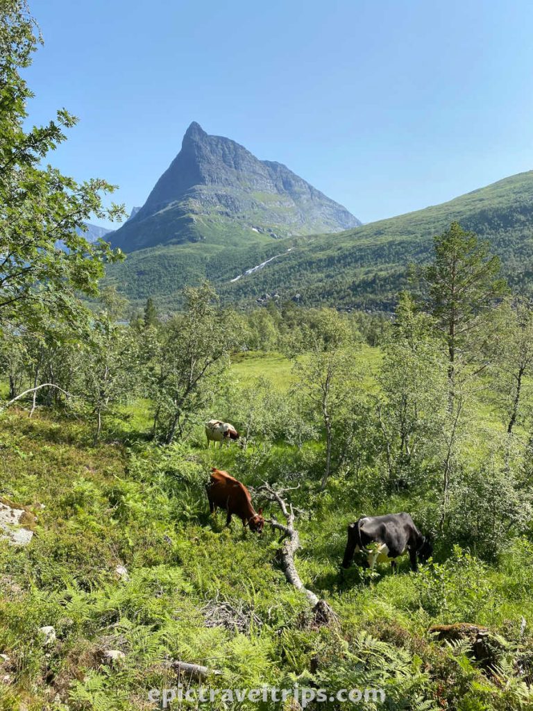
Milk production and processing into dairy products (cheese, creams, butter, etc.) are essential operations on such farms. On the way up, we have seen several cows. Around the farm, there are chickens and other livestock.
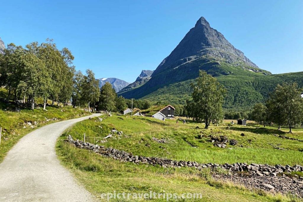
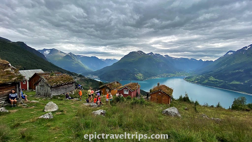
Nowadays, it has additional functions. It is used as a cafeteria and serves drinks, waffles, and simple meals. It sells fresh milk and some dairy products (yogurt, creams, butter, etc.).

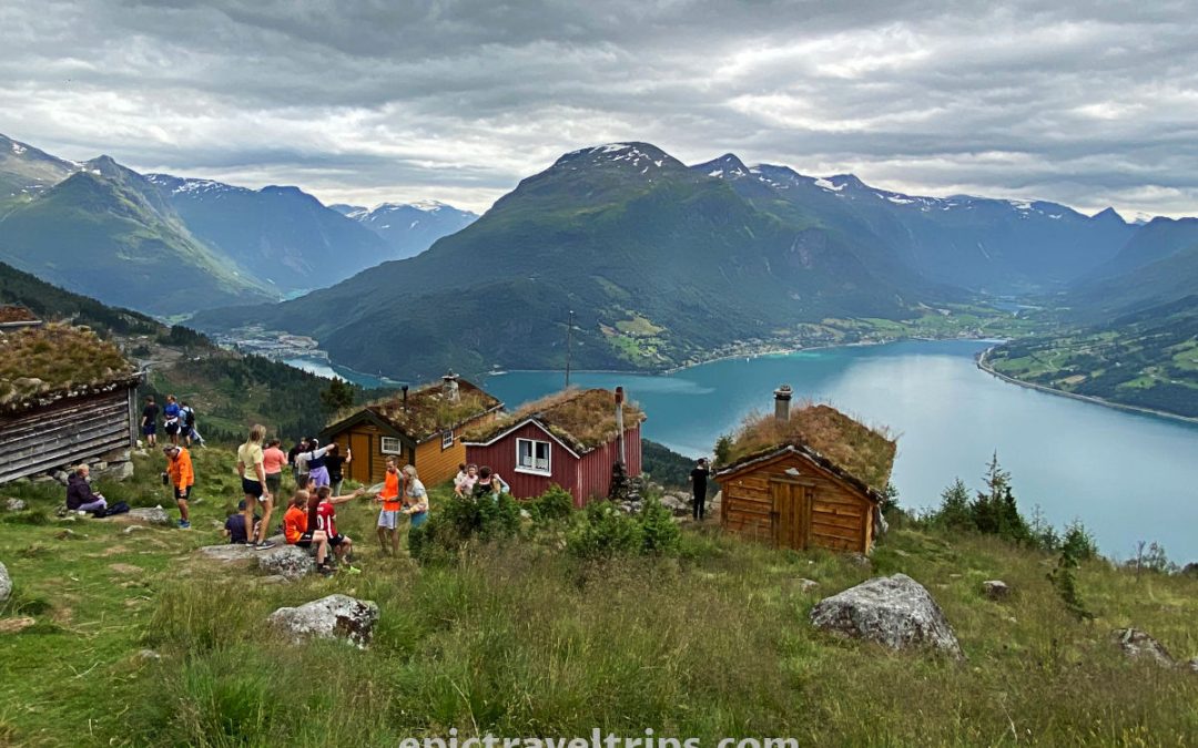
The hike to Renndølsetra reminded us of our previous one to similar Raksætra & Oppheimssætra summer farmhouses in the Stryn area. However, the latter were more demanding and a steeper hike but with an even better view over the Innvik fjord.
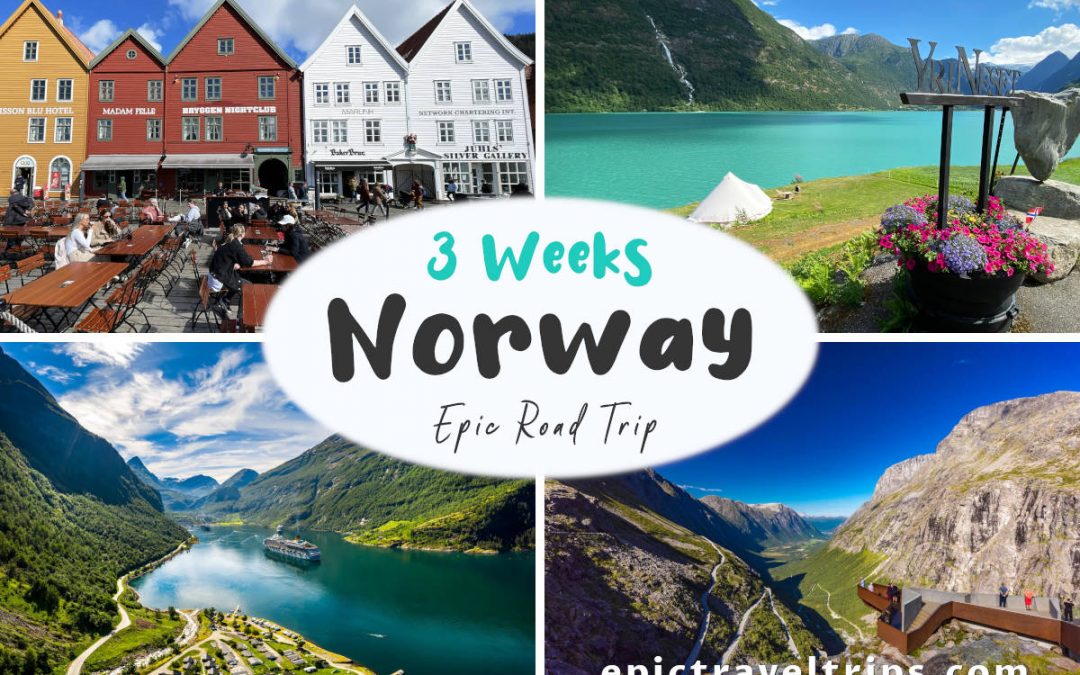
Ultimately, we recommend both hikes which were part of our 3-Week Norway Epic Road Trip.
Renndølsetra Hike
The hike is 3.5 km (2.18 miles) long, and it has 196 meters (645 ft.) climb on the way to Renndølsetra and only 53 meters (174 ft.) climb on the way back. The peak is at 462 meters (1515 ft.) above sea level. The lowest point is 266 meters (873 ft.) above sea level.
The start from the parking lot looked very promising as it was easy and almost flat. However, we soon realized that this would still be quite a climb. We guessed right. The gravel road is still wide but has become much steeper. We took short breaks to catch our breath so we could continue (the fresh air was fantastic ventilation).
You know you’ve reached the top when you come to a stream and a gate. After that, it’s an easy walk to the farmhouse.
We stopped on the way to take photos and enjoy the scenery.
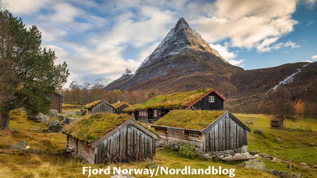
The way back was a lot easier, so we could put a smile on our faces and walk singing. (Take me home, country roads…)
Where Is Renndølsetra Located?
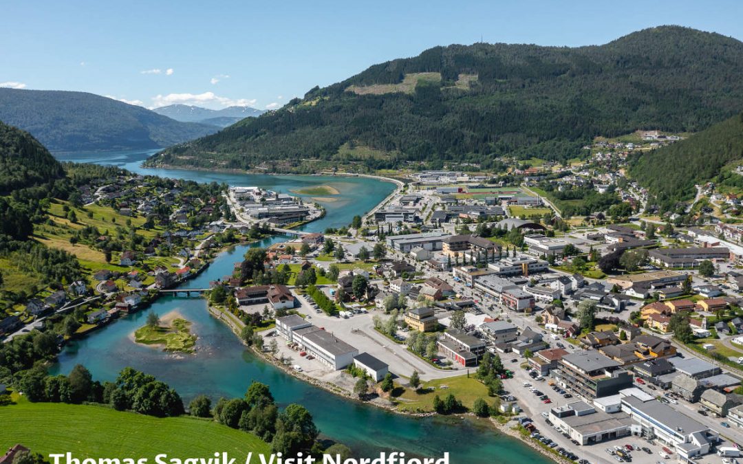
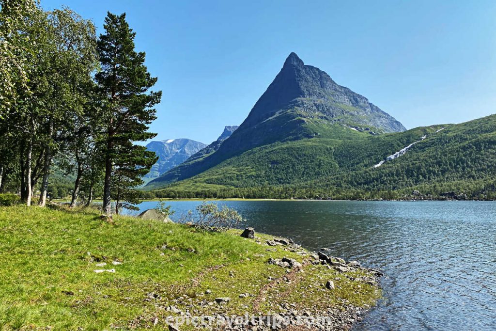
Renndølsetra is in the Møre and Romsdal counties of the Western Norway (Vestlandet) region, close to the Sunndalsøra administrative center.
Here are a few distance, time, and roads practical info:
- Kristiansund: 95 km (59 miles), one hour and 30 minutes drive, Road (70)
- Trondheim: 160 km (99.5 miles), 2 hours and 45 minutes drive, Roads (E6 and 70)
- Ålesund: 180 km (112 miles), 3 hours and 15 minutes drive, Roads (E39, 62, 70, and includes a ferry crossing)
- Oslo: 490 km (304 miles), 6 hours and 45 minutes drive, Road (E6 and 70)
If you click this link and make a purchase, we earn a commission at no additional cost to you.
How To Reach Renndølsetra?
There are limited transportation options to reach Renndølsetra.
By Bus: No bus lines drive to the starting point for this hike.
By Car, Motorcycle, or Campervan: A car and a motorcycle are the best options to reach the parking lot. Maybe you can try a bicycle since we saw several on the way up and down.
The parking space is around 10.5 km (6.5 miles) from Road 70. The road is not highly demanding, meaning there are no steep climbs or similar. However, the road is narrow, and no asphalt on some sections, so we advise you to control your speed.
If you are coming from the Sunndalsøra (south side), by driving Road 70, turn right at the Coop Grocery shop (not visible from the road) and the sign for Innerdalen.
Providing you are coming from the Kristiansund (north side), by driving road 70, turn left at Ålvundeid church and the sign for Innerdalen.
If you click this link and make a purchase, we earn a commission at no additional cost to you.

Is It Difficult Renndølsetra Hiking?
Usually, the correct answer depends on your physical condition and the weather. We would assess this hike as easy, and the whole track is wide and well-paved (gravel road).
However, the track is 3.5 km (2.2 miles) and 196 meters (645 ft.) climb on the way to Renndølsetra and only 53 meters (174 ft.) climb on the way back. So it will take some time to hike and return.

How Long Does It Take Renndølsetra Hiking?
It takes longer to hike to Renndølsetra than the return hike due to the higher elevation.
We’d say an hour and a half on the way there and a little over an hour on the way back is more than enough. Take into account extra time for sunbathing near the lake, enjoying the scenery, wandering around the estate, tasting the farm’s products, etc.
Leave the road, and take the trails. – Pythagoras
It’s hard to estimate precise time as we spent extra time taking photos, eating waffles, looking at cows, enjoying the scenery, etc. In total, we spent between five and six hours, we believe.

Where To Park For Renndølsetra Hiking?
The asphalt part closest to the starting point is public parking, and it is free, but the number of parking spaces is limited.
The local farmers have improvised some parking spaces, but no asphalte, only regular dirt roads.
You can pay for parking service by Vips service (mobile payment service in Norway) to mobile phone numbers. However, we do not know how no-Vips users pay for parking.
When Is The Best Time To Visit Renndølsetra?
Norway is a country with unpredictable weather and especially in the mountains. The best chance of having sunny weather is during the summer. However, Norwegian summer is shorter compared with many other countries. June, July, and August are the best months to visit.
Take into account that most Norwegians take a summer vacation in July. So expect July to be high of the season and overcrowded.

What Is Nearby Renndølsetra?
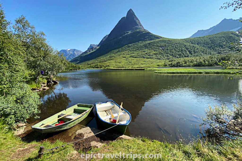
There is a DNT cabin (Den Norske Turistforening – The Norwegian Trekking Association) down the path near the lake with some accommodation facilities.
Here are a few suggestions that were part of our 3-Week Norway Epic Road Trip.
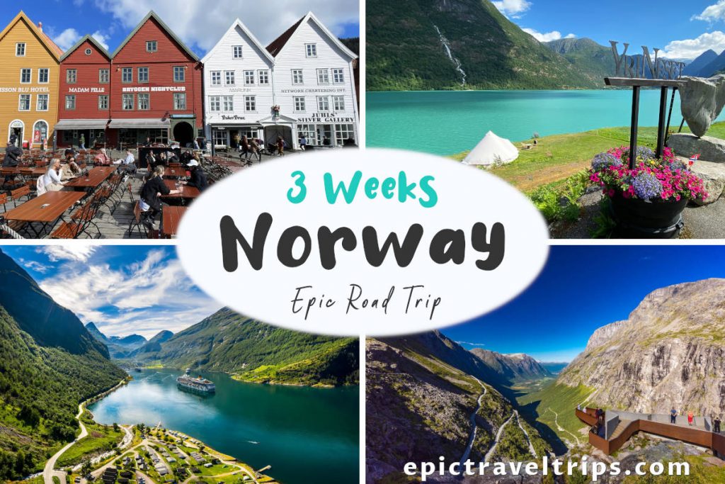
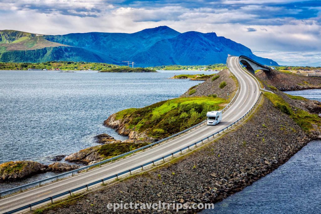
The Atlantic Ocean Road (Atlanterhavsvegen)
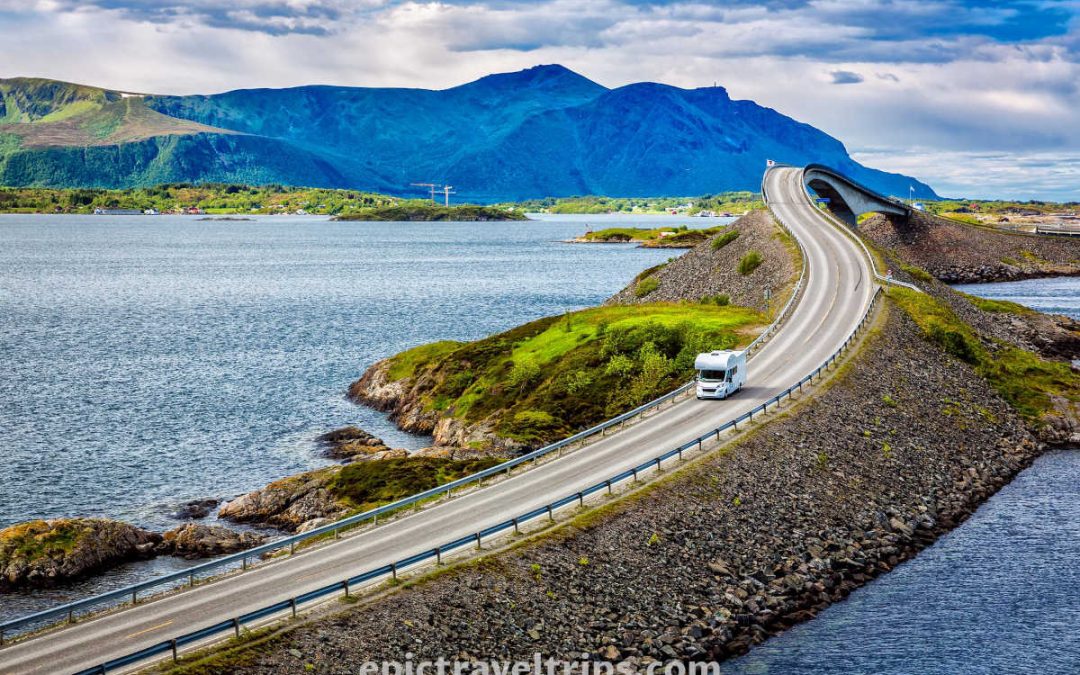
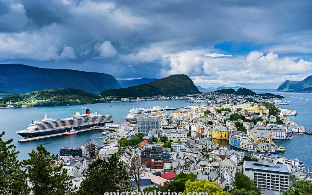
Atlantic Ocean Road connects the mainland over several islands with amazingly shaped bridges. This fantastic and unique road is just around 117 km (72.7 miles) from Renndølsetra and is one hour and forty minutes drive.
We came to Renndølsetra from the ocean road on our 3-Week Norway Epic Road Trip.
Trollstigen – The Mountain Road To Geiranger
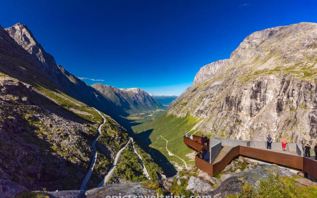
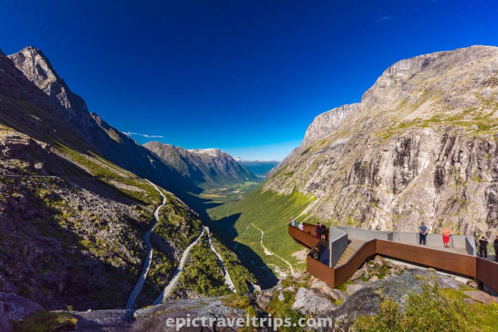
Trollstigen is a drive of about 130 km (80 miles), and it takes two hours and a quarter to reach it. The mountain road visit is worth it. Since the view is spectacular, the experience is thrilling while driving this engineering “rollercoaster”.
Raksætra – Summer Pasture Farm
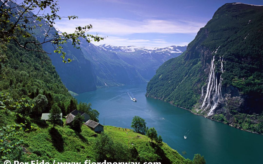
A mind-blowing view from Raksætra is worth the effort of hiking this summer pasture farm. We have seen it. It is your turn now.
It is similar to this hike but with an even better view over the fjord (at least in our humble opinion). However, it takes more than 5 hours to drive (more than 320 km (200 mi)), but maybe it is a good suggestion for your long-term plans to visit Norway.
Anyway, we recommend both hikes.

Renndølsetra– Our Impressions
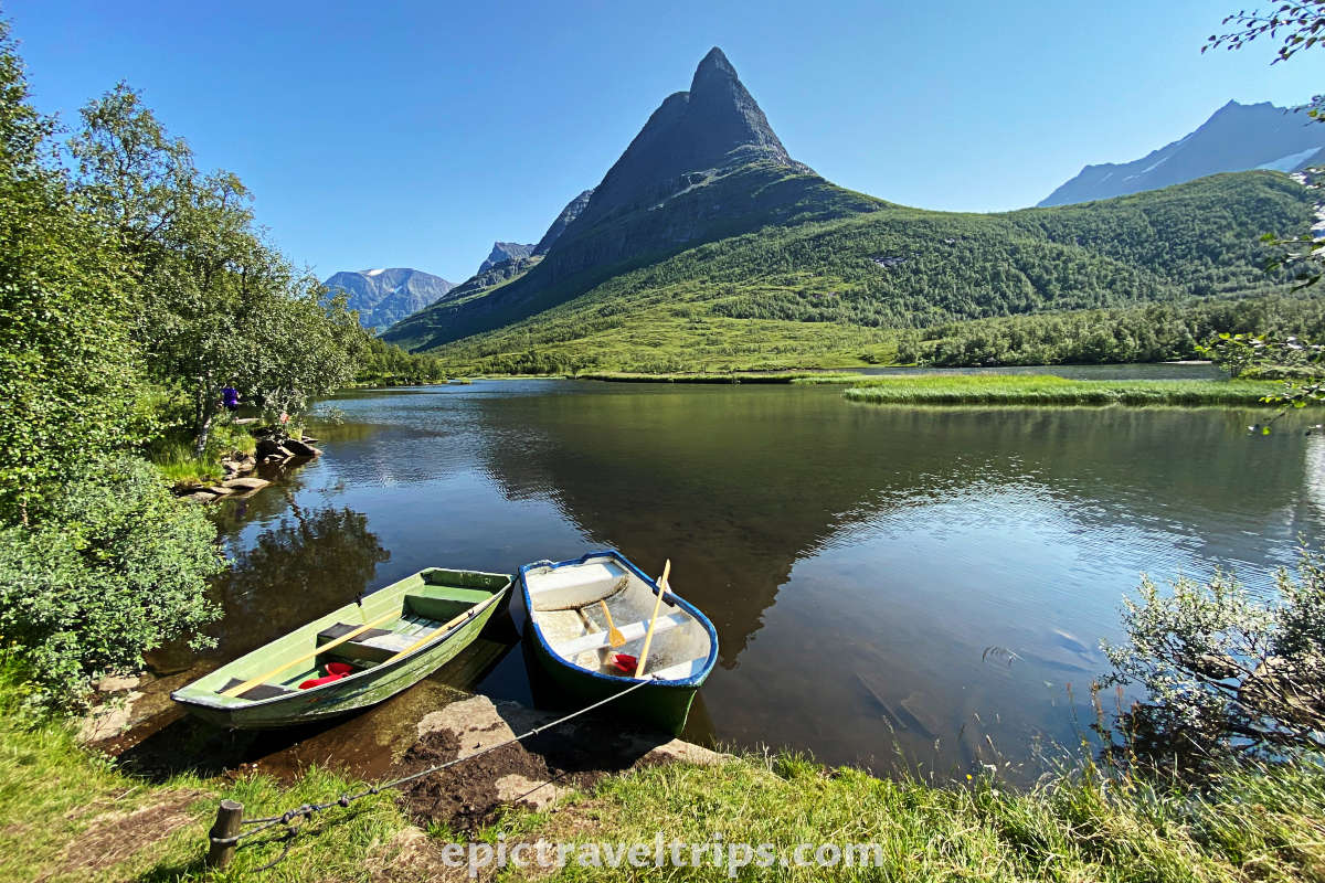
For us, this was a mesmerizing half-day excursion. It has beautiful landscapes that have everything (mountains, valleys, lakes, streams, waterfalls, fresh air, and much more). The day was beautiful, sunny, and hot, so the hike was easy. As true mountain lovers, we could consider returning and staying in some cabins. So, we can further explore many hiking options, kayaking, landscape photography, etc.
We are looking forward to coming back one day.

We wish you an epic trip!

