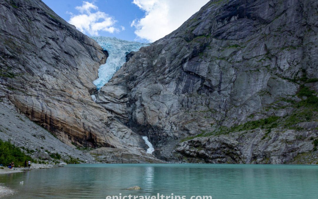
- What is?
- Trollstigen Road Described
- Where is located?
- How To Reach?
- Road Toll Costs
- Is Drive Demanding?
- How Long Does It Take?
- Where To Park?
- When Is The Best Time To Visit?
- What Is Nearby?
- Our Impressions
What is Trollstigen?
Trollstigen mountain road is a mind-blowing, unique, and fascinating winding road, so we can let our imagination describe it even to the edge between reality and fiction.
Please, allow us to be a little bit fantasy-inspired. Trollstigen is eleven sharp turns for “rafting” on the wheels. So please, “raft on wheels” with us. We will, in more detail, describe “the rafting” in the Trollstigen road drive chapter.
The road is around 5 km (3.1 mi) long and has an elevation difference of about 850 meters (2789 ft). In some sections, the incline is 10%.
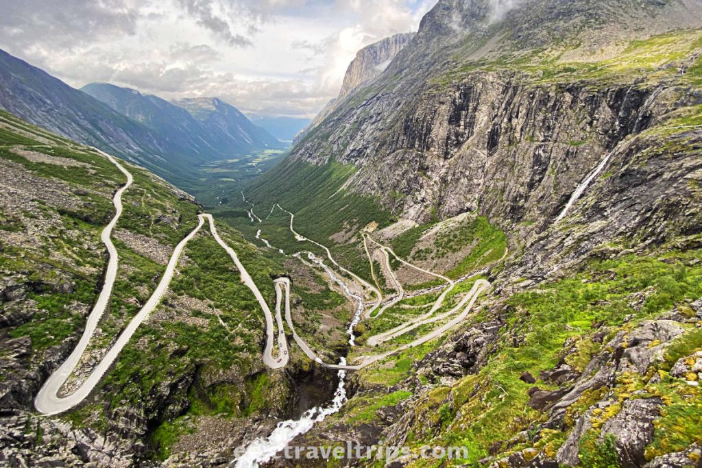
Bear in mind that the road is open only during the summer months. That means from mid-May until October, most likely. Opening season is highly dependent on the weather conditions.
It is a part of the Norwegian Scenic Route or National Tourist Route like the Atlantic Ocean Road, Jæren Veg, and many others.
Trollstigen Etymology
Trollstigen means the troll path or the troll trail.
We speak Norwegian, but we are not ethnical Norwegians. So take our words gameplay with caution.
Trollstigen Described
There are so many things, even with small details, that can catch your attention. The view, the mountains, the waterfalls, lakes, rivers, the visitor center architecture, and modern pathways are just some of them. Of course, the main sight is Trollstigen Road itself.
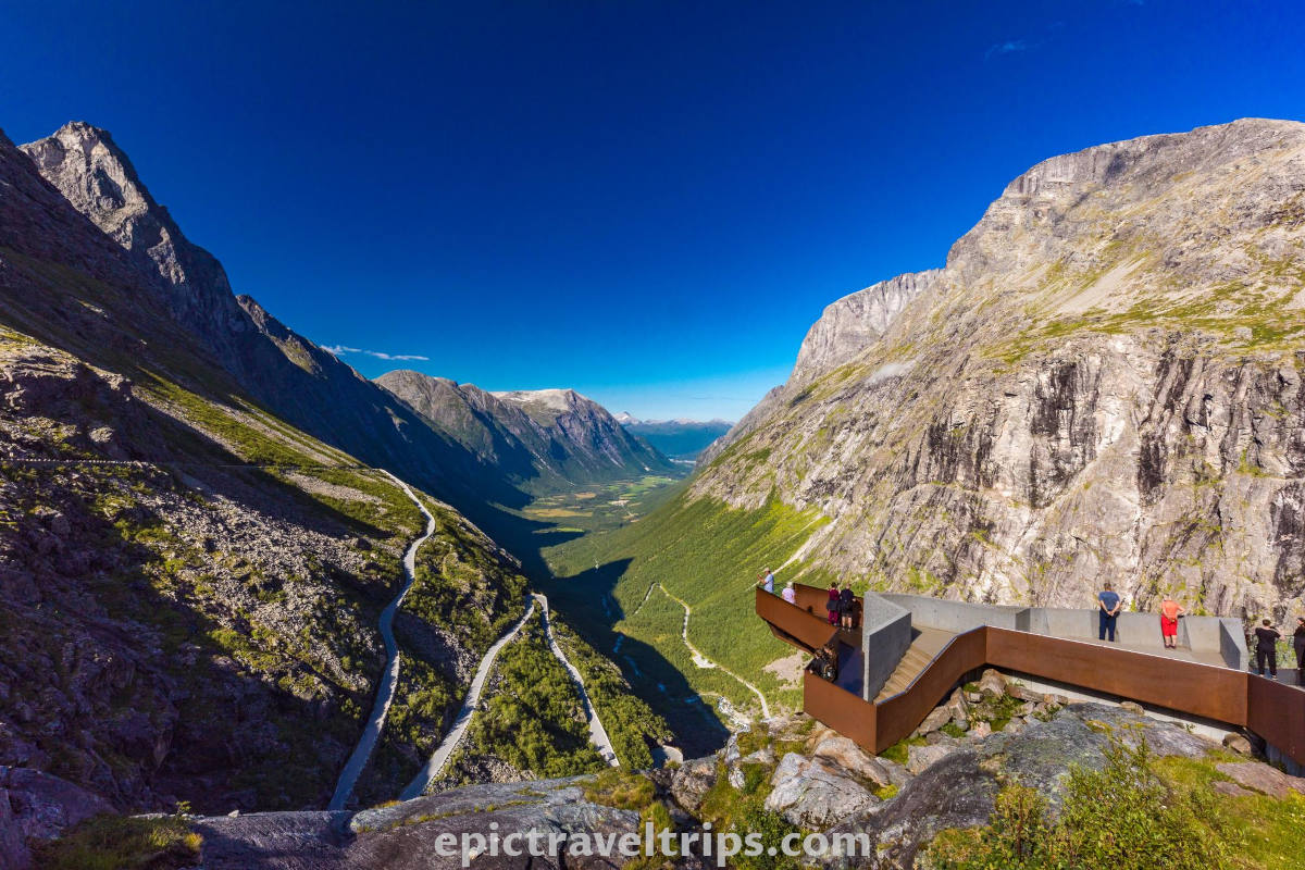
There are two highlights of Trollstigen. The first is the view from the two viewpoints, the second is even more attractive, and it is to drive the road itself.
There is a bonus highlight but for more adrenaline kind of people. We saw one guy jumping from the cliff, gliding in a parachute, and making his way down the valley until landing on the road.
Trollstigen Visitors Center
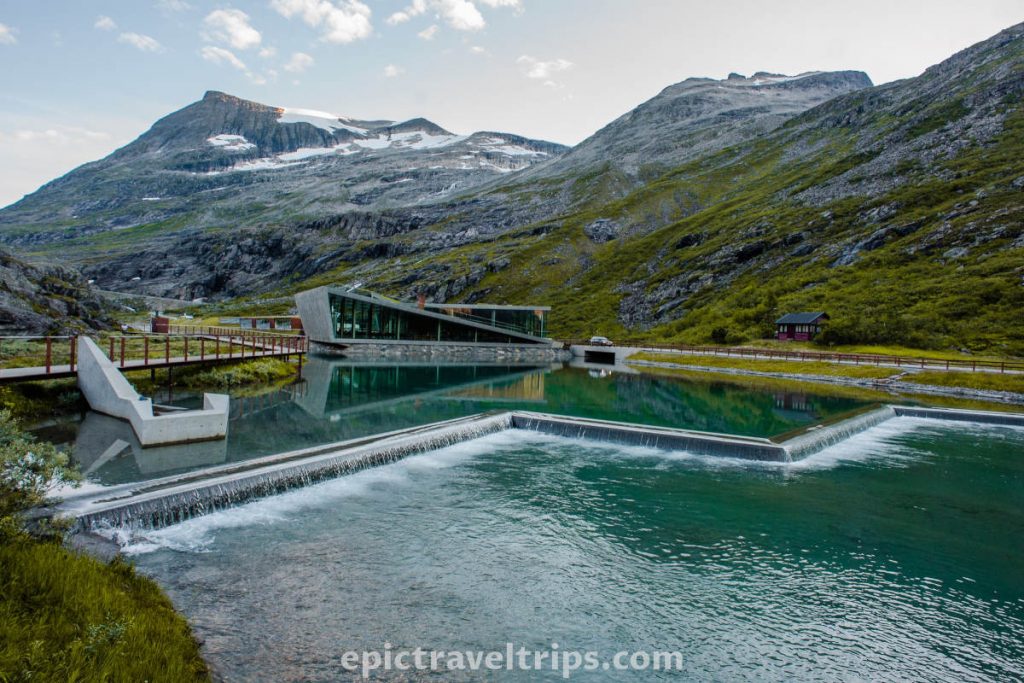
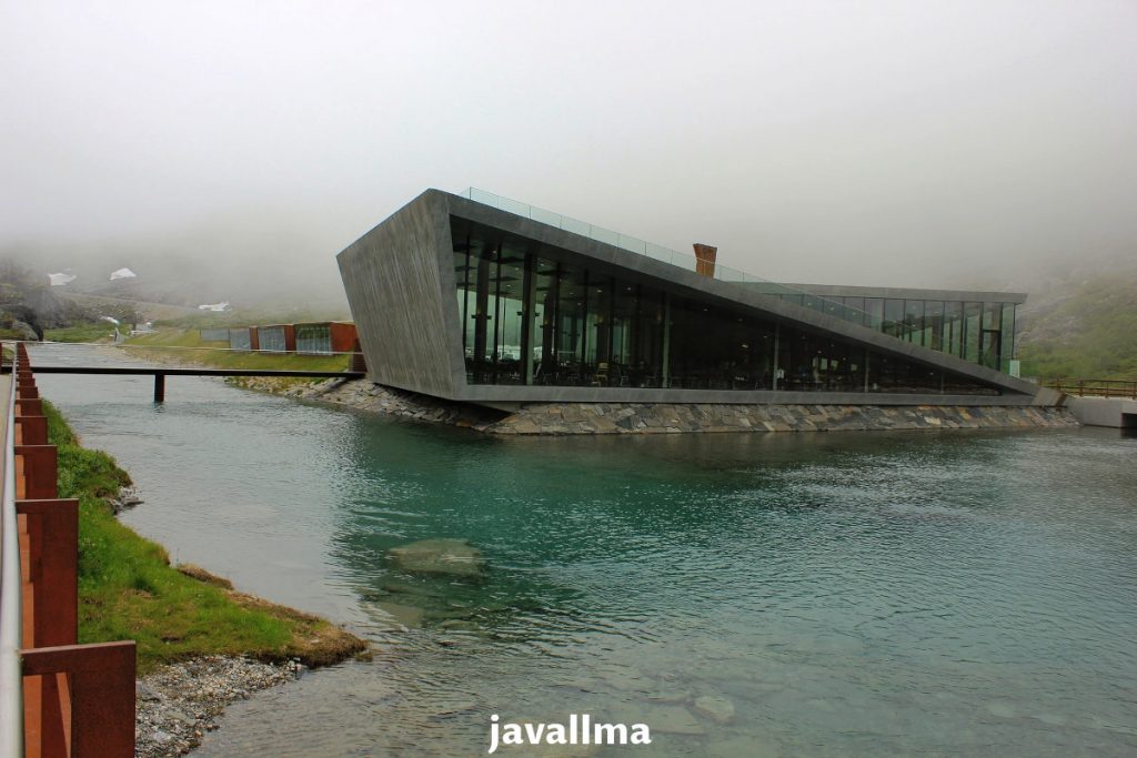
The visitor’s center shape with straight sharp lines and edges reminds us of rock or ice glacier formation. Rocky formation blended in river flow, surrounding mountains, sky, and clouds fit into the natural environment.
Even one of the roofs functions as a viewing platform. The other roof has grass on the top to blend the structure into nature and better isolate the roof.
Trollstigen Viewpoints
You can cross the small bridge between the Visitors Center and the Souvenir shops.
There is a modern concrete pathway with metal rails. It leads us to two platforms.
This first platform is not far away from the Visitors Center. It is at the end of what looks like a wider slow-flowing river. When one comes to the viewing platform, one can see the tipping point where water drops into the valley. It is a beautiful Stig waterfall (Stigfoss).
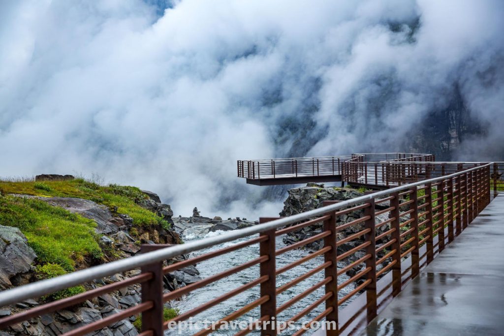
The second viewpoint (metal, concrete, and glass built materials) provides a much better view of the waterfall, road, and valley. It is a few minutes walk from the Visitors Center.
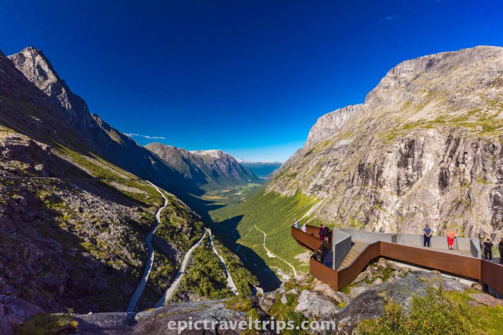
Just one needs to follow the concrete pathway with metal rails. These modern pathways provide easy access to the best views of the area.
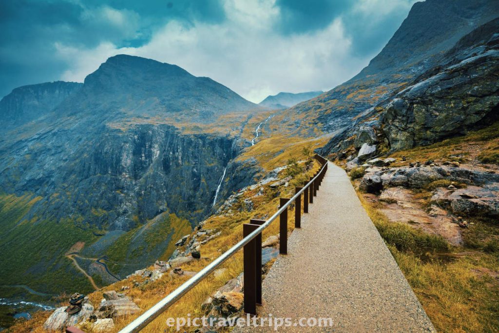
Trollstigen View
The view is magnificent in one word described. The Stig waterfall (Stigfoss) on the left and Tver river (Tverelva) on the right join their water forces into the wild stream and shape the valley for centuries. The mountains are all around us, and the clouds are sometimes so close that one can even touch them.

The zig-zagging road puzzles us even more. Vehicles conquer this driving challenge slowly. As we watch this mind-blowing landscape, we breathe in the fresh air and listen to the dropping water force.
Sometimes people like to close their eyes and enjoy the moment more with sounds and smells. How to close your eyes before the heavenly gaze, we preferred to open all our senses and enjoy them.
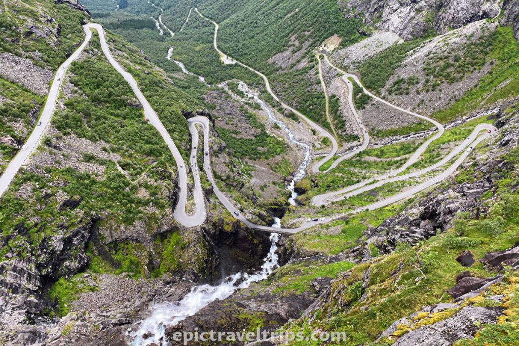
Trollstigen Mountain Road Driving
It is time to “raft” Trollstigen mountain road. It is not easy to decide whether it is more exciting to “surf” downwards or upwards. Downwards we felt like a rollercoaster on the wheels. While upwards, we slowly conquered this challenging journey cascade after cascade.
We drove first from the top to the valley and ended up at Åndalsnes. On our way back to Geiranger, we have driven upwards. In many sections, the road is wider after reconstruction. However, never the less, each sharp turn is exciting on its own.

Notice the road-sloped lines from the photo above. These lines were modern electrical cruise ships’ design inspiration that sailed from Flåm to Gudvangen.
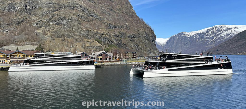
Even Trollstigen Visitor’s Center architectural solution has these slope lines that fit perfectly with the surrounding nature.
However, let’s continue the impression about driving Trollstigen mountain road.
One of the best spots to stop by is near the Stig waterfall and bridge (Stigfoss & Stigfossbrua). Although the parking space is limited to just a few vehicles, it is worth trying to stop. You should take a short break and take a few photos.

While driving downwards, it is a constant “dance” of moving away from the mountain and almost flying into the sky and clouds. The sudden sharp turn returns us to the mountain and waterfall.
It is a new driving feeling on this road “rollercoaster“. This feeling is just until the new 180 degrees turn. Suddenly, the next turn continues this tango until reaching the valley, where the driving gets its allargando tempo.
We will for sure come back for this Norwegian tango again.

How To Reach Trollstigen?
There are several options to reach this wonderful location, but we believe that car, motorcycle, or motorhome are the best transportation options.
By car: The easiest way to reach the mountain road is by car, camper, or motorcycle.
Local road 63 is from Åndalsnes (north) and Geiranger (south) direction.
By bus: As far as we know there is no local bus to Trollstigen.
By train: Trollstigen is not on the national railway network, unfortunately. The closes train station is at Åndalsnes (20 km = 12.5 mi).
You can take one of the most beautiful train rides Raumabanen between Dombås and Åndalsnes.
By taxi: A taxi is an option but an expensive one.
By airplane: Molde Airport is the closest to Trollstigen. It is 72 km (44 mi.) by car and a two-hour drive north of Trollstigen.
SAS, Norwegian, and Widerøe operate several daily flights to Oslo and Bergen.

Where is Trollstigen located?
Trollstigen Road is in Rauma Municipality, Møre & Romsdal counties of the West Norway (Vestalndet) region. Åndelsnes is the closest place and only a half-hour drive.
Here are a few distance, time, and roads practical info:
- Oslo: 448 km (278 miles), 6 hours drive, Roads (E6 and E136)
- Bergen: 426 km (265 miles), 7 hours 30 minutes drive, Road (E39 and includes a ferry crossing)
- Ålesund: 124 km (77 miles), 2 hours drive, Roads (E39 and E136)
- Geiranger: 67 km (41.6 miles), 1 hour 40 minutes drive, Road (63 and includes a ferry crossing)
- Åndelsnes: 20 km (12.5 miles), 30 minutes drive, Roads (63, E136)
If you click this link and make a purchase, we earn a commission at no additional cost to you.
How Much Is Trollstigen Toll?
So enjoy it as long as it lasts.

Is Trollstigen Drive Demanding?
It can be but not necessarily. It is open only during the summer months, most likely, from mid-May until October. Vehicles longer than 13.3 meters (43.6 ft) are not allowed on this road.
How Long Does It Take Trollstigen Drive?
A ten-minute drive is enough to reach the top since the Trollstigen road is around 5 km (3.1 mi) long. Sometimes, it can be slower due to the traffic or too many long or heavy vehicles.

Where To Park For Trollstigen Drive?
At the top, near the café and souvenir shop, is the spacious parking space.
Some parking spaces are at the foot of the mountain near the information viewpoint. It is on the right-hand side when driving up.
On the road itself, there are several small spots to stop. These spots are more for short photo sessions rather than for parking. One interesting small stop is near Stig waterfall and bridge (Stigfoss & Stigfossbrua). It is on the right-hand side when driving up.

When Is The Best Time To Visit Trollstigen?
Norway is a country with unpredictable weather and especially in the mountains.
As we have already written, Trollstigen Road is closed during winter and opens only during the summer months. That means mid-May until October are possible options. We highly advise you to check the weather forecast in advance. Clouds, wind, or fog can dramatically change your road driving experience impressions.
Take into account that most Norwegians take a summer vacation in July. So expect July to be high of the season and overcrowded.
What Is Nearby Trollstigen?
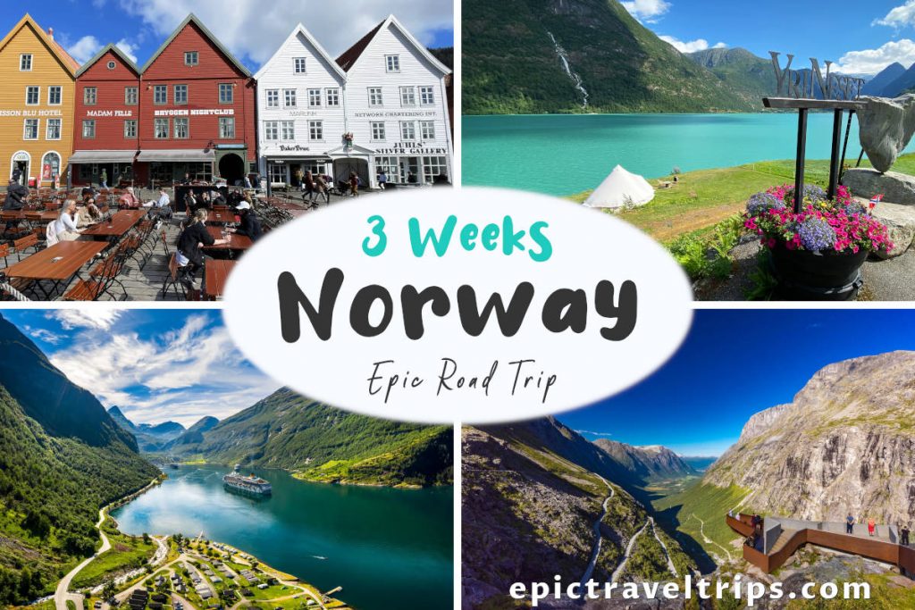
There are so many iconic landmarks in close proximity to Trollstigen although Trollstigen is mesmerizing by itself. We visited all these locations as part of our 3-week Norway Epic Road Trip that we have journaled on this website.
Raumabanen
Raumabanen is one of the most iconic train rides in Norway. Maybe only Flåmbane is more attractive and world-famous.
Raumabanen has layers and layers of change in landscape sceneries. From the mountain surroundings at Dombås, the railway follows the Rauma River and valley (Romsdalen). Near Verma, the train crosses the valley over the iconic Kylling bridge (look at the photo below, isn’t it magnificent).

Next, the railway passes under the well-known Trollveggen (Troll’s wall) and Romsdalshorn mountain peak following the crystal clear and blue color waters of the Rauma River.
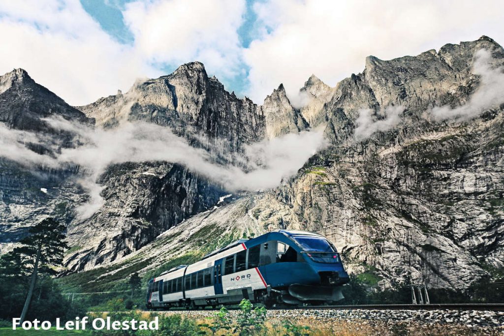
Finally, the scenery changes into a fjord landscape at the railway’s end at Åndalsnes.
The stretch between Dombås and Åndalsnes is 115 km (72 mi) long. It takes around one hour and twenty-five minutes to ride.
Trollveggen
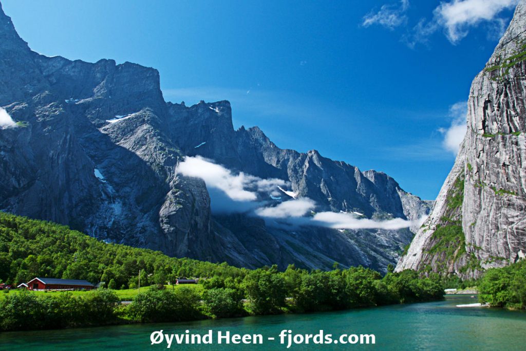
Trollveggen (in free translation, Troll’s Wall) is another pearl on the Norwegian necklace of natural beauties. Blue sky edged with mountain peaks shaped like sharp teeth carved the horizon. Mountain rocks blend with green conifers and birch trees vegetation melting into the emerald green but cold waters of the Rauma River at the bottom.

Sunsets are even more beautiful…

Trollveggen Visitors Center
Driving down from Trollstigen on road Fv63, we crossed the bridge over the Rauma River. We had a choice to turn right and continue onto road E136 in the Dombås and Oslo direction. 6th km into the drive on the right-hand side is Trollveggen’s Visitor’s Center, where you can get more info about this area. The surrounding mountains, valleys, and river landscapes are even more beautiful near the Raumbanen railway tracks.
Åndalsnes
… or driving from Trollstigen on the road Fv63 you turn left after crossing the Rauma River bridge. You will be on your way (road E136) to Åndalsnes. It was very windy, and we came late to Åndelsnes. So we did not have a chance to visit the following two attractions.
Now we have at least two reasons to come back and visit Åndelsnes once again.
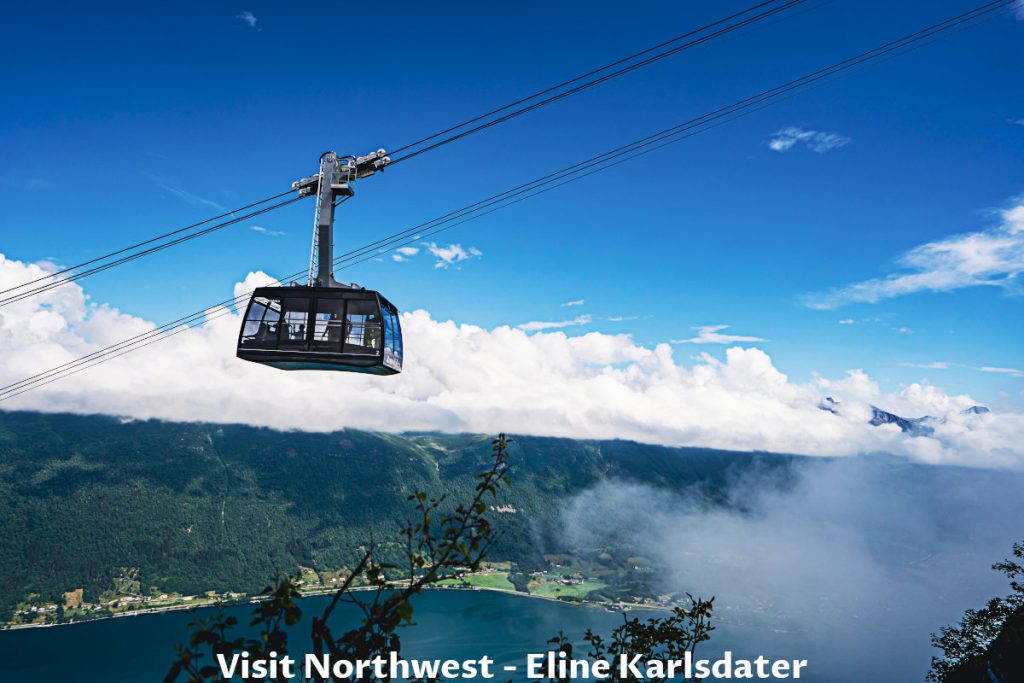
The Romsdalen Cable Car (Gondola)
Romsdalen cable car (gondola) offers a panoramic view over the city, fjord, Rauma River, mountains, and valleys.
Rampestreken Viewing Platform
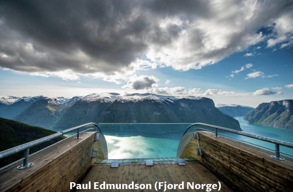
15-20 minutes walk from the Romsdalen cable car (gondola) top station, and voilà, you are at the 20 meters (65 ft.) long steel-made viewing platform. It is a fantastic place to view the Åndalsnes, the Rauma River flows into the fjord, and many more.

It reminded us of the Stegastein viewpoint (photo below) near Flåm. The Stegastein platform is newer and modern, but both platforms are attractive to visitors.
Gerianger & Geiranger Fjord
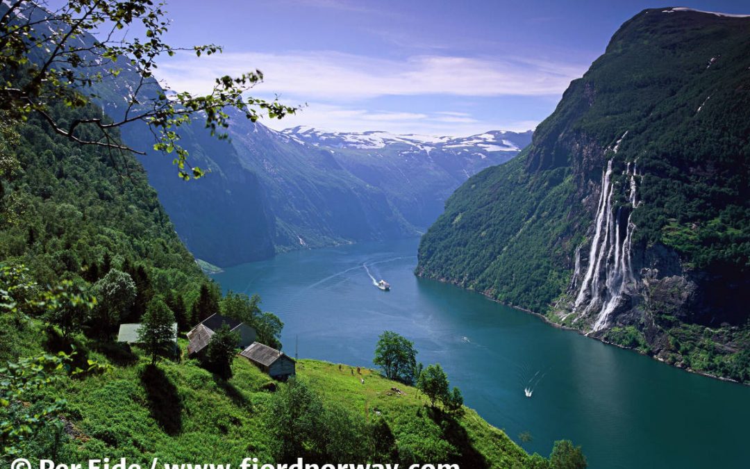
Geiranger is the iconic place where someone wants to experience fjords. There are so many fantastic places to visit around Geiranger. Simply, it is a must.
It is just 67 km (41.6 miles) from Trollstigen, but it takes one hour and forty-five minutes to arrive with a ferry crossing.

Gudbrandsjuvet – Gudbrans Ravine
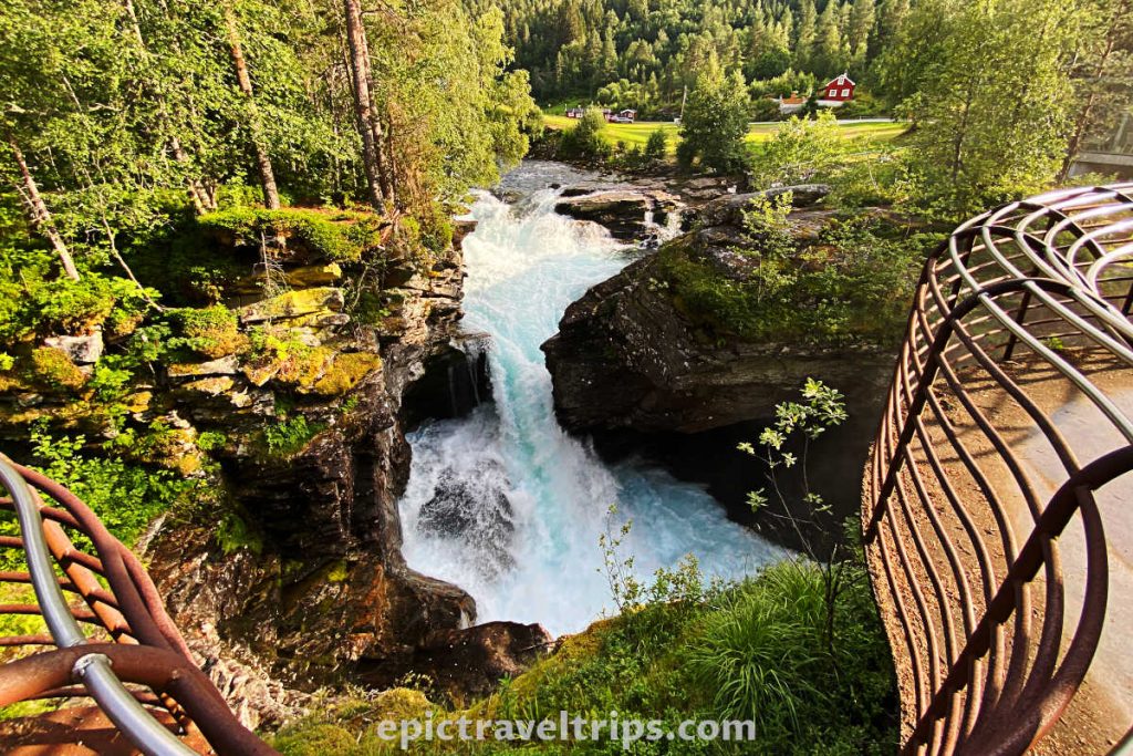
Look how the peaceful mountain river Valldøla suddenly becomes wild and carves its course through this ravine. It is on the road to Geiranger and just 47 km (29,2 miles) before the village. If you drive from Trollstigen Visitors Center, it is only 20 km (12.5 mi) to the ravine. We stopped by this place on our way back to the Geiranger to take a short break and gather our thoughts after “rollercoastering” Trollstigen serpentines.
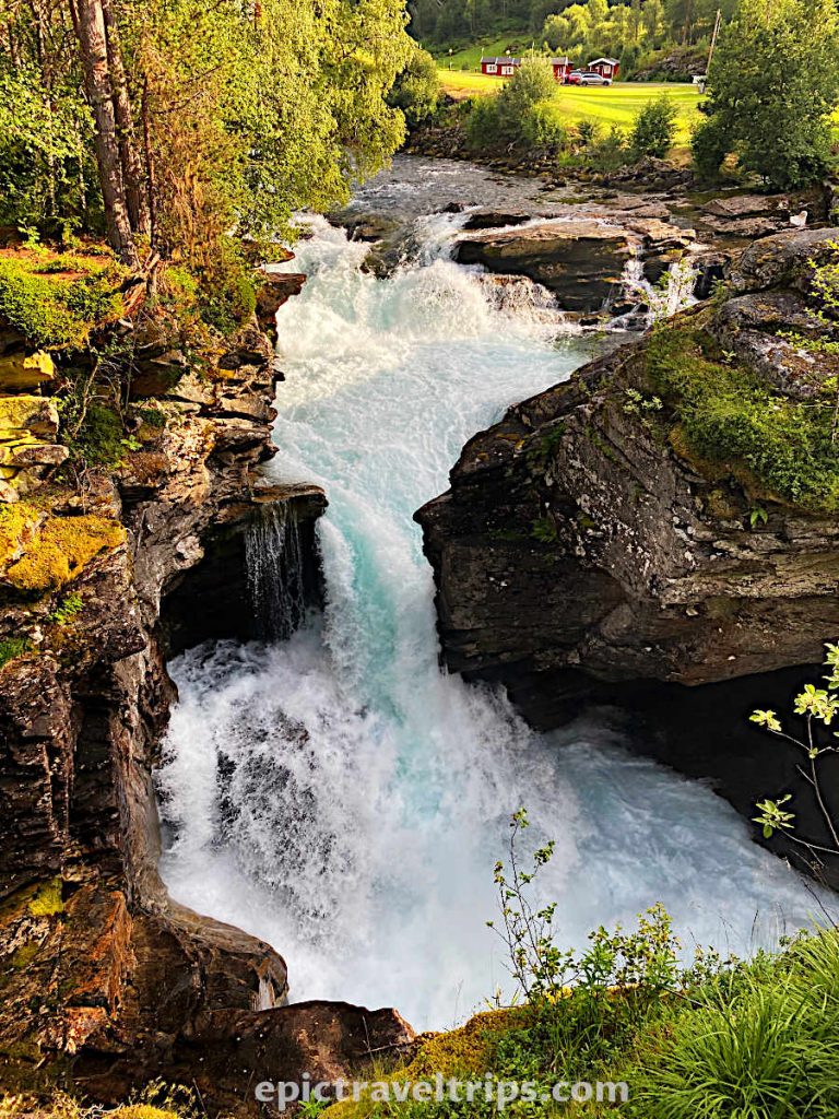
It was a short visit of 20 minutes. The mountain river becomes narrow quickly, and the water roars into the ravine. Above the ravine, there is a path that you can walk to the river. For safety reasons, there is also a metal cage for protection. There is also a cafe with a nice view of the ravine and stream. The camp is next to the river for those who want to stay longer in this area.
Ålesund
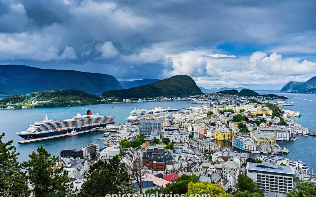
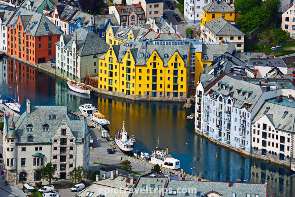
Ålesund has one of the most beautiful city panoramas in Norway. The city’s architecture will not be unnoticeable to your eyes due to the Art Nouveau architectural-style buildings.
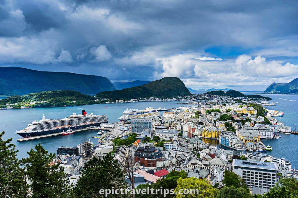
Ålesund is 120 km (75 mi) from Trollstigen, and it takes two hours to drive.
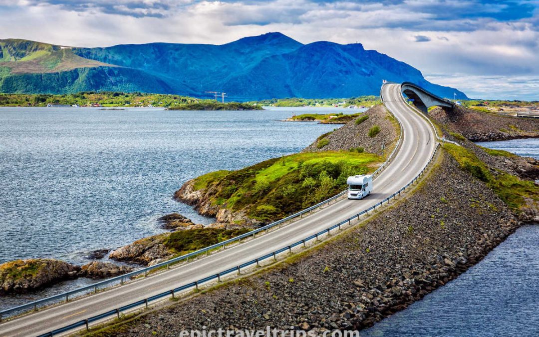
The Atlantic Ocean Road (Atlanterhavsvegen)
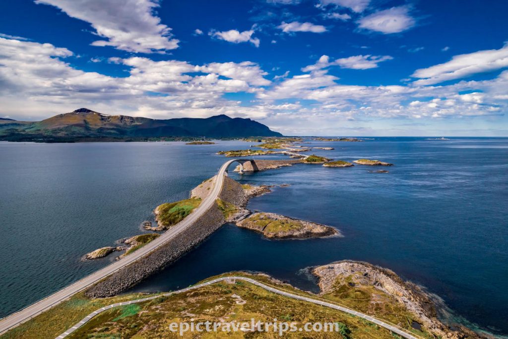
Atlantic Ocean Road connects the mainland over several islands with amazingly shaped bridges. This fantastic and unique road is around 113 km (70 miles) away and is two-and-half hours drive one way (including the ferry crossing between Åfarnes and Sølsnes).
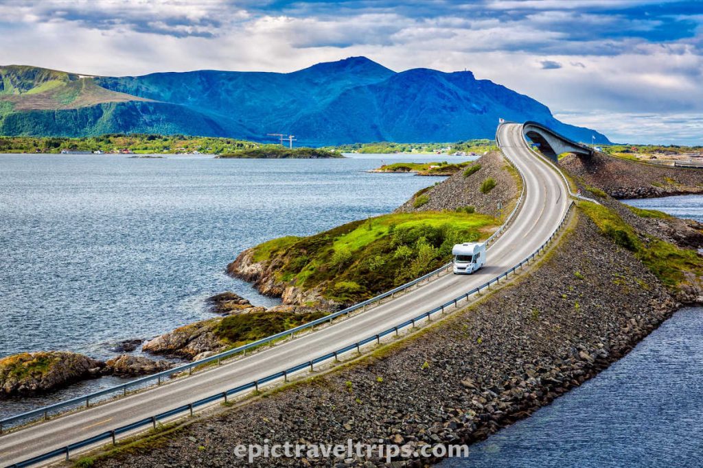
It is another road on the list of National Tourist Routes.
Trollstigen – Our Impressions
Trollstigen viewpoints provide a magnificent view of this natural paradise. The mountain road is open only during the summer months Mid-May until October. So we did not want to miss a chance to drive this winding mountain road and be thrilled with it for a lifetime. We want to return and visit this unique location in the future again.
We had the opportunity to visit Alpine Road in Austria and similar roads in the Italian Dolomites. Trollstigen mountain road is a pretty good match.

We wish you an epic trip!

