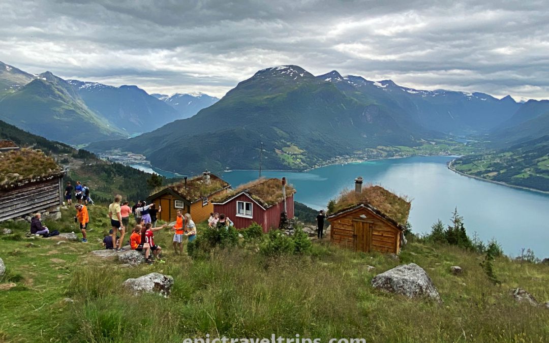
Hiking Briksdal Glacier (Briksdalsbreen) is fantastic, and we would like to share it with you. We have lived in Norway for many years, and finally, we have visited this picturesque place.
Experience with us, Briksdal Glacier, and maybe our experience will inspire you to hit the road and visit it yourself.
- Briksdal Glacier Hike
- Where is Briksdal Glacier located?
- How To Reach Briksdal Glacier?
- Is it difficult?
- How Long Does It Take Hiking?
- Where To Park For?
- When Is The Best Time To Visit?
- What Is Nearby?
- Our Impressions
Briksdal Glacier (Briksdalsbreen) Hike
The trip to Briksdal Glacier (Briksdalsbreen) is a beautiful half-day excursion. The Briksdal Glacier is at the end of Briksdalen valley.
When we arrived at the starting point for the track, the ambiance was just fantastic. Mountains are all around us, and peaks are covered with snow unless hidden by fast-moving clouds. Many waterfalls carve the mountainsides.
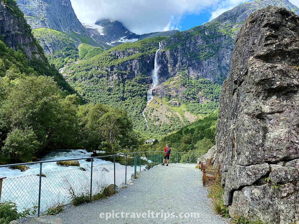
To the great joy of those not in the best physical condition, the trail is not steep at the beginning, following the course of the Briksdals river (Briksdalselva). We can see Vole waterfall (Volefossen) with huge drops when we turn around (as you can see in the photo above). The murmur of the Briksdals river next to us makes it impossible to hear the power of the water flowing from the mountaintops.
Wooden benches on the path allowed us to catch our breath, and we enjoyed the scenery and relaxed.
Walking up brought us next to the small wooden bridge and Kleiva waterfall (Kleivafossen). There was a refreshing and wet surprise from nature. The waterfall slams into the rocks and splashes the water all over. So one could get a free shower and natural refreshment, providing one felt overheated due to the climb. Therefore be prepared to run over the bridge if you do not want to be too wet from the splashes.

Photo from Visit Nordfjord.
Be prepared…
From the bridge and the Kleiva waterfall, we followed a winding path that continued into the staircases. It is the steepest section of the hike, so take your time. We walked at our own steady pace, taking short breaks as needed. Soon we were on the top of the waterfall. The view from the top is fantastic, mountain peaks, a winding road that we just walked up, and wild water dropping down the valley, as you can see in the photo below.

From the top, the rest of the walk was a breeze to our goal.
As we continued our hike, we were separating from the river. The river has changed its nature, and now it is a bit wider and calmer. But first, we approached the turning point for the troll safari buggy (buggy photos and more info follow further in the article). We needed five minutes to walk to the sightseeing spot from the safari-buggy station.
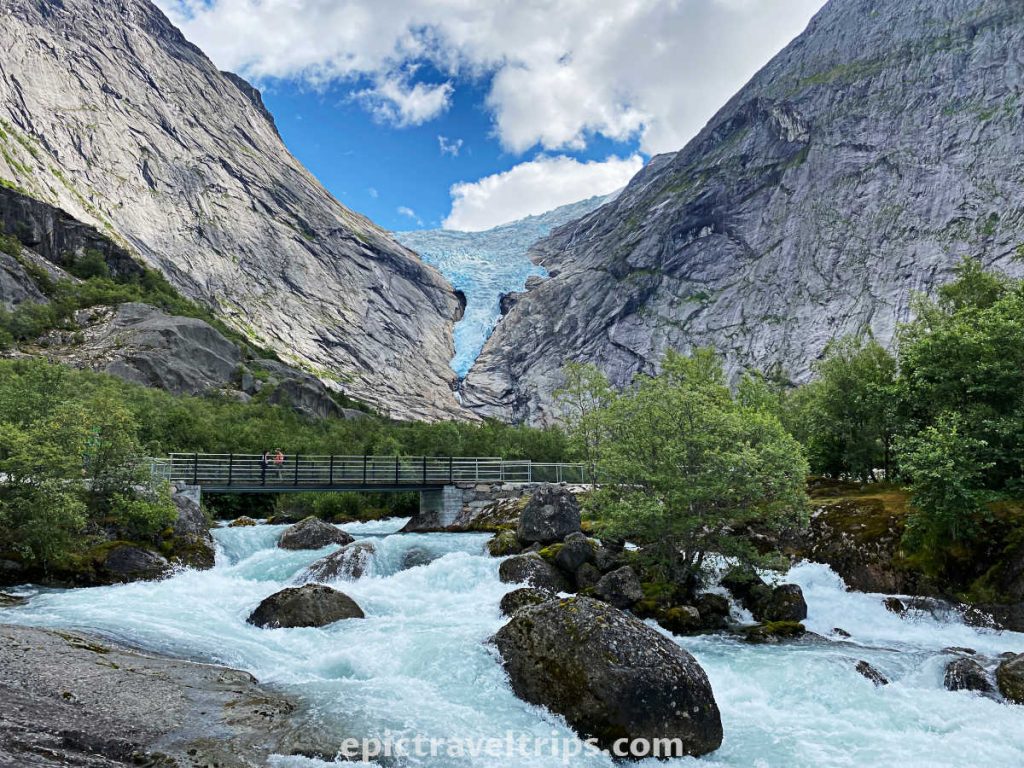
We crossed paths with the river again as we approached the lake below the glacier.
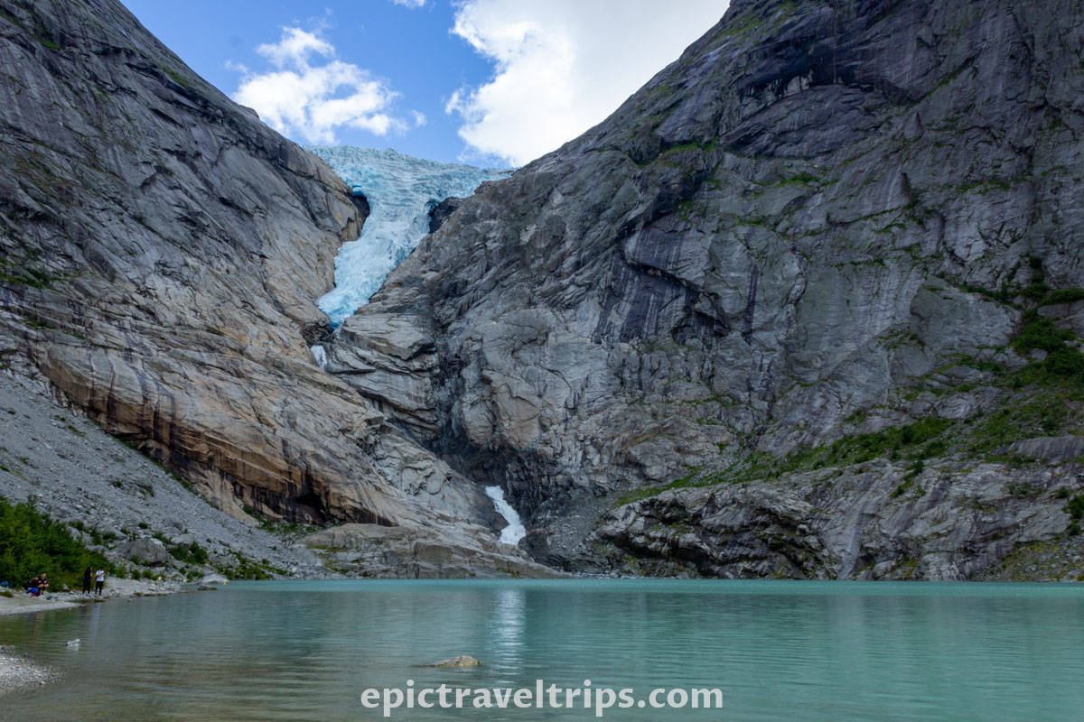
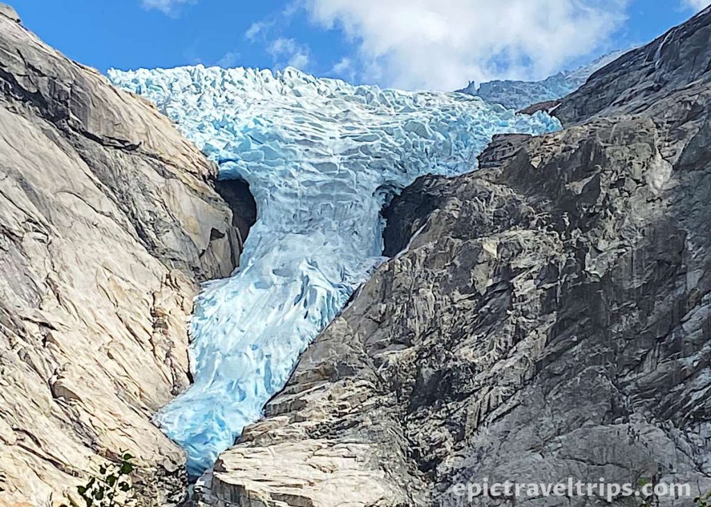
Finally, a view of an emerald-green lake ending in rocks opens up. Further up from the lake was the bluish ice of the Briksdals Glacier (Briksdalsbreen). The bluish glacier blended with the blue sky. White clouds drew the line between the glacier and the blue sky.
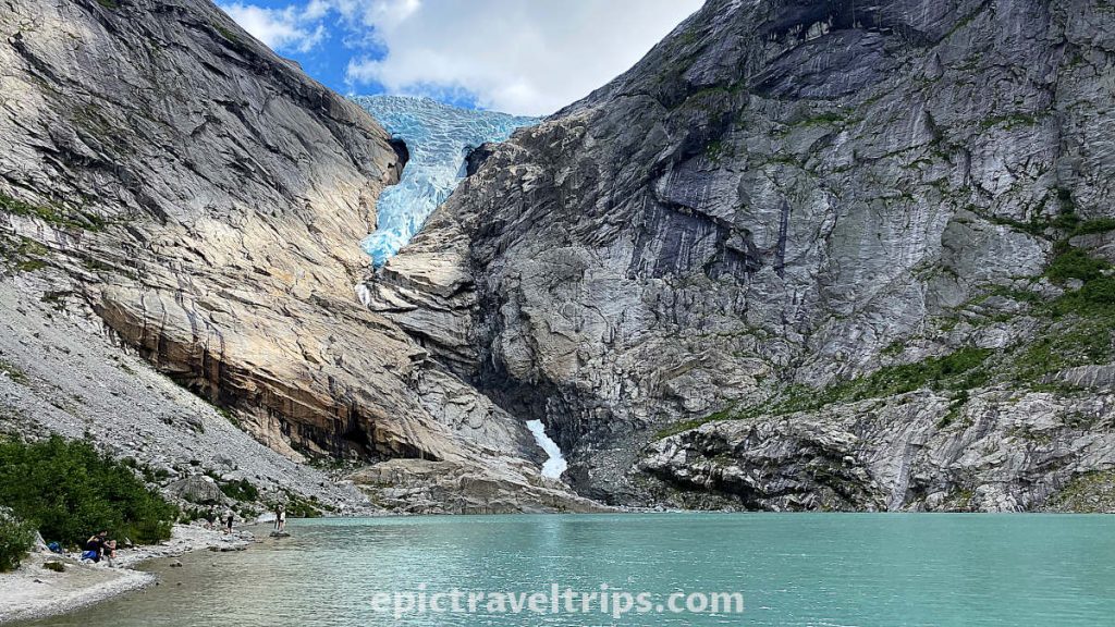
It is worth mentioning that Briksdal Glacier is just a smaller section of a significantly more spacious Jostedal Glacier (Jostedalsbreen). To be more precise, Briksdal is the glacier arm of Jostedal. Jostedal is the biggest glacier in continental Europe and has a total area of 487 square kilometers (188 sq mi). It is almost three times bigger than the District of Columbia.
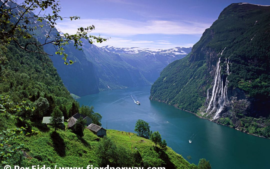
Right from the glacier is a waterfall that flows into the Tjøtaelva River. It reminded us of the Seven Sisters’ waterfalls in Geiranger.

Where is Briksdal Glacier located?
Briksdal Glacier (Briksdalsbreen) is in the Vestland county of the Western Norway region, close to the Stryn administrative center, and the nearest village is Olden.
Here are a few distance, time, and roads practical info:
- Oslo: 512 km (318 miles), 7 hours drive, Roads (E6 and 15)
- Bergen: 300 km (186 miles), 5 hours drive, Road (E39 and includes a ferry crossing)
- Ålesund: 166 km (103 miles), 3 hours drive, Road (E39 and includes a ferry crossing)
- Geiranger: 115 km (71.5 miles), 2 hours drive, Roads (15 and 63)
- Stryn: 39 km (24 miles), 45 minutes drive, Roads (60, 724)
If you click this link and make a purchase, we earn a commission at no additional cost to you.

How To Reach Briksdal Glacier (Briksdalsbreen)?
There are several options to reach this wonderful location, but we believe that car, motorcycle, or motorhome are the best transportation options.
By car: The easiest way to reach the glacier is by car, camper, or motorcycle.
If you drive from Stryn via Road 60, turn left in Olden Village at Coop Grocery to Road Fv724. From the turning point, it is a little more than a 20-minute drive (22 km = 13.7 mi) to the parking space for the hike.

By bus: During summer (01 June – 31 August) there is bus line 751 from Stryn. It takes one hour drive to the glacier. However, to reach Stryn take express busses from Oslo, Bergen, Trondheim, and Ålesund.
By train: Briksdal Glacier is not on the national railway network, unfortunately.
By airplane: Sandane Airport is the closest but only for a few domestic flights. However, we believe that Ålesund Airport, Vigra is a better option. It is 180 km (111 mi.) by car and a three-hour drive north of the Briksdal glacier. SAS, Norwegian, and Widerøe operate several daily flights to both Oslo and Bergen.

Is It Difficult Hiking To Briksdal Glacier (Briksdalsbreen)?
The Briksdal Glacier (Briksdalsbreen) hike is not a demanding tour for the majority. The only bit harder section is between the Kleiva waterfall bridge and the waterfall’s top. The rest is a breeze.
You don’t need any special climbing gear or skills. However, we strongly advise you to bring enough water, check the weather forecast, and dress in layers if sudden weather conditions changes are expected.
Maybe you do not have enough time for the hike, or you do not feel fit enough. Well, there is a solution to such situations. If you want to “hike” quickly and easily, you can buy a ticket for a troll buggy safari. It is a fun drive up, as you can imagine. You walk only five minutes to the glacier from the drop-off station. It will save you tremendous time and energy.
As you can see in the photo from Oldedalen Skyss, a buggy is quite a fun ride.

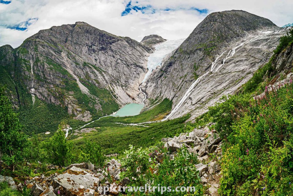
A photo from Ruben Soltvedt gives a fantastic overview of the whole hiking path. The bottom left pathway is the starting point from parking. Next, we see the bridge below the waterfall (“Run Forest! Run…” here if you do not want to get wet). We follow the winding path on the waterfall’s right-hand side to reach the top of the waterfall. Finally, we see the glacier itself at the back.

How Much Time Takes Briksdal Glacier (Briksdalsbreen) Hiking?
Three to four hours are more than enough for walking to and from the glacier. One should consider additional time for photo sessions on the way up and at the glacier itself.
Of course, the precise time depends on the weather conditions, personal physical conditions, hiking interests, etc.
“One touch of nature makes the whole world kin.” —William Shakespeare
We have already mentioned an alternative method to come to the glacier by troll buggy safari.
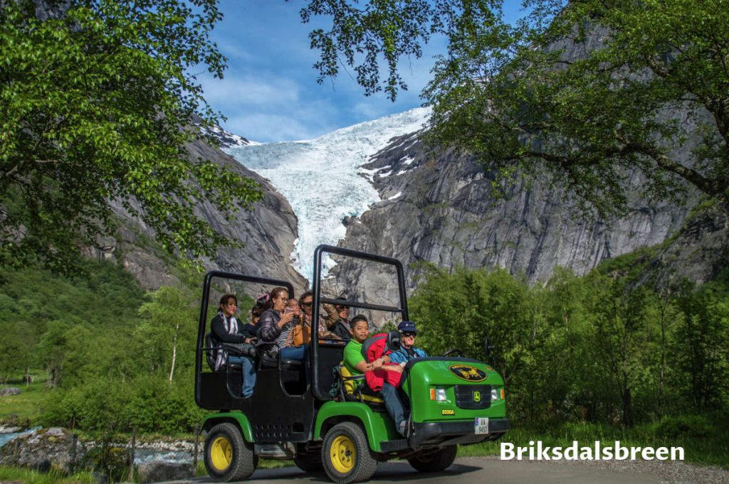
Photo from Briksdalsbreen
Whatever the reasons, if one wants to reach the glacier faster, there is an option to buy a ticket for a troll safari buggy. It is a custom-built seven-seater that will drive you from the souvenir shop almost to the glacier. The glacier is 700 meters (2300 ft.) from the buggy top station.
Where To Park For Briksdal Glacier (Briksdalsbreen) Hiking?
There are three parking levels at the start of the hike. The lowest level is for cars (some 200+ spots available) while the middle one is for camper vans. The highest level, closest to the hiking starting point (near Briksdal’s Glacier Mountain Lodge), is for busses (some 30+ spots available).
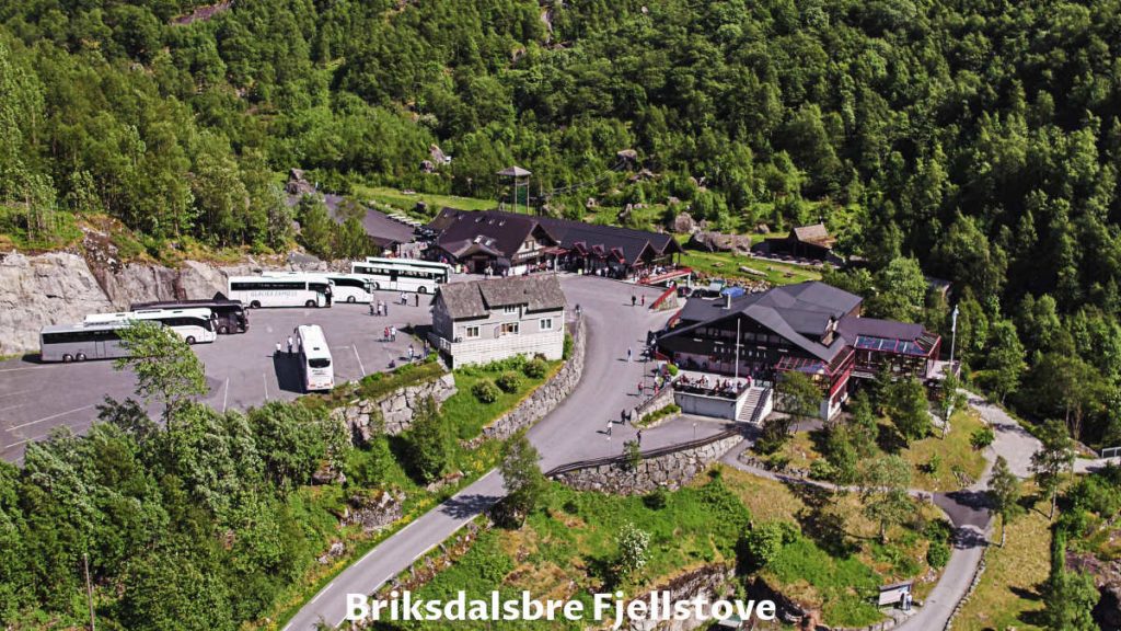
How Much Cost Parking For Briksdal Glacier (Briksdalsbreen) Hiking
We have just pulled out our credit card and paid for the parking (cash not needed).
We were ready to see the beautiful landscape. In the photo below we see the view from Kattanakken Jostedalsbreen national park (Briksdal Glacier, lake, waterfall, and Tjøtaelva river on the right).
When Is The Best Time To Visit Briksdal Glacier (Briksdalsbreen)?
The best time to visit is during the summer. However, Norwegian summer is shorter compared with many other countries. June, July, and August are the best months to visit.
We visited Briksdal Glacier in the mid of July and had a sunny day with some clouds in the sky.
What Is Nearby Briksdal Glacier (Briksdalsbreen)?
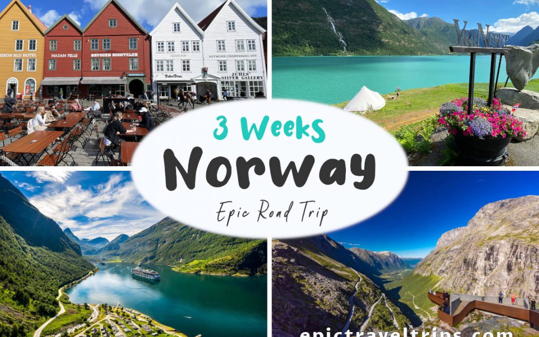
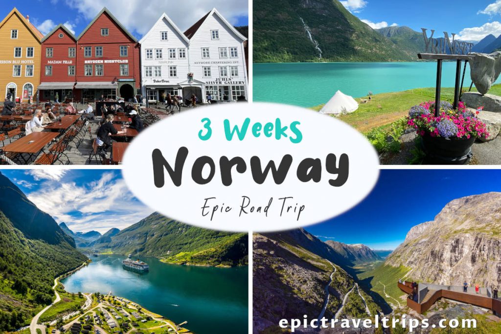
Many places are worth visiting close by, and we spent three days wandering around and discovering the Stryn area. Stryn was part of our 3-Week Norway Epic Road Trip as well.
Here are some of our top picks:
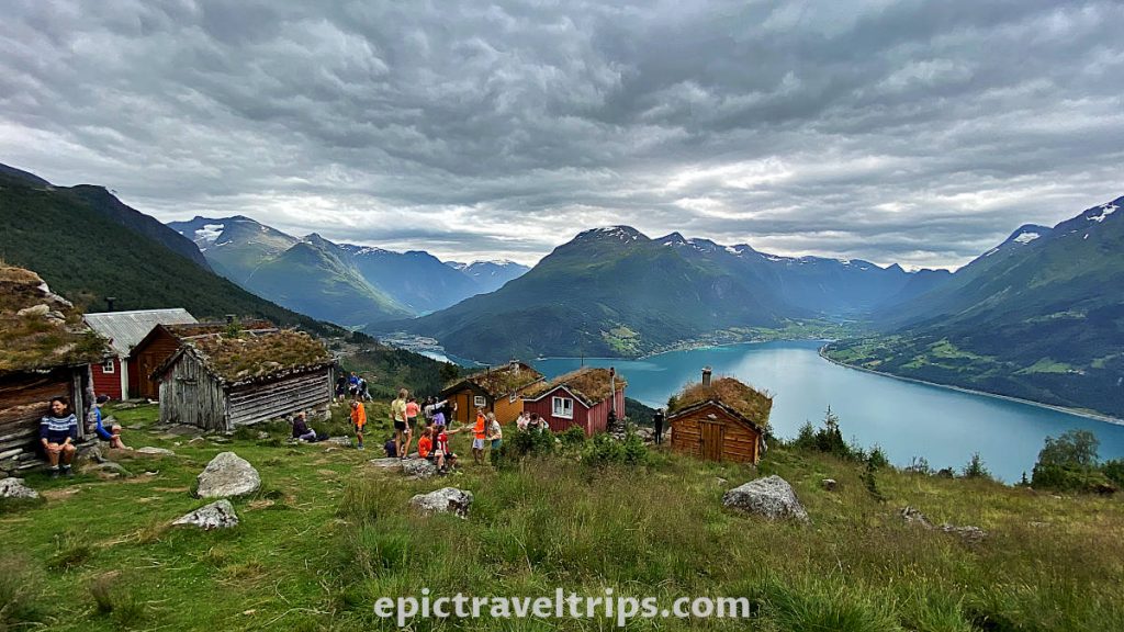
Raksætra & Oppheimssætra Summer Pasture Farms
A mind-blowing view from Raksætra is worth the effort of hiking this summer pasture farm. We have seen it. It is your turn now. This article will help you to decide for yourself.
Oldevatnet Lake
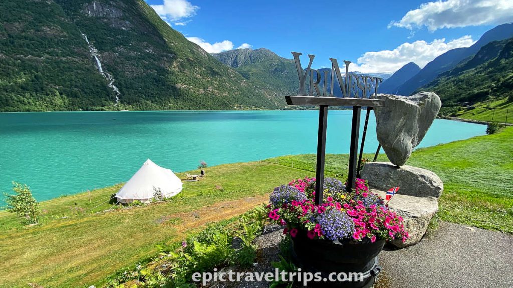
Oldevatnet Lake is emerald green, and it is just marvelous. Green grass, blue sky, and white clouds with surrounding mountains are just the perfect addition to this stunning landscape.
You cannot miss it when driving to the glacier from Stryn. We stopped by the Olden Gytri camping to take this fabulous and colorful photo.
Floen Lake
Another landscape photo-looking lake, but it is smaller than Olddevatnet. Again, if you drive to the glacier you cannot miss it.
Lo River & Lake (Loelva & Lovatnet)
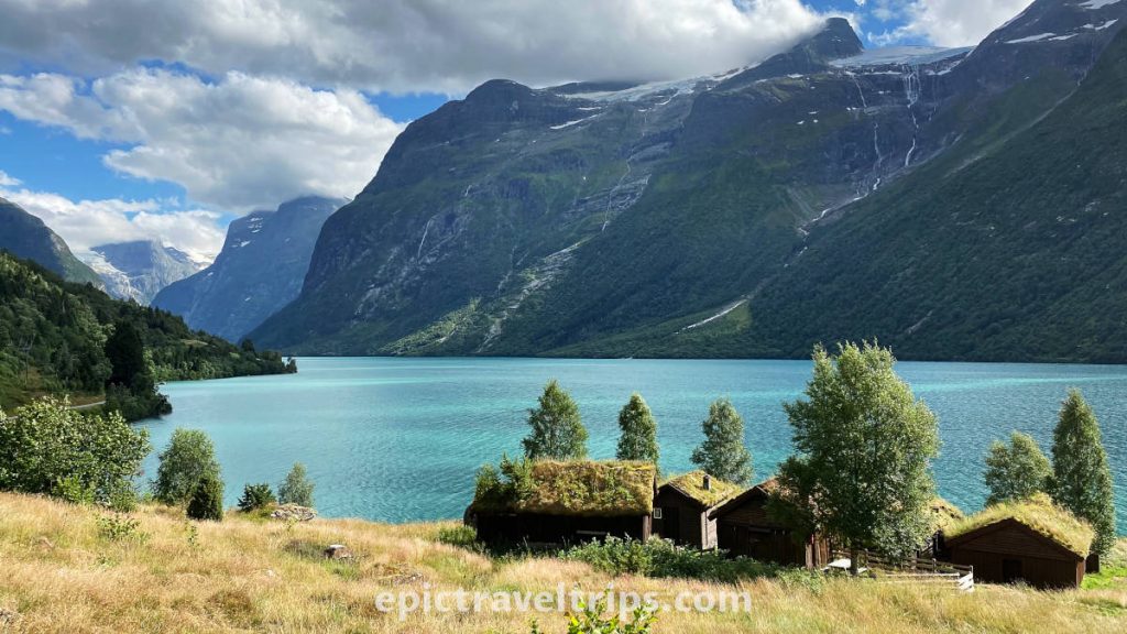
Lo River and lake are on the way to our next tourist attraction suggestion Breng – Wooden Farm Houses (Breng Seter).

Photo from © Sergey Bogomyako
Breng – Wooden Farm Houses (Breng Seter)
The design of Breng wooden farmhouses (Breng Seter) is similar to Raksætra & Oppheimssætra. It was a summer pasture farm. Such farms are seasonal facilities for livestock farming and utilize grazing in areas unsuitable for a year-round settlement.
Loen Skylift (Cable Car)
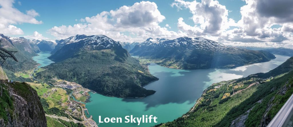
The fastest way to get a mind-blowing view of the Innvik fjord, Olden, and Loen Valley is to take the cable car. However, not the cheapest.
Photo from Loen Skylift shows the magnificent view from the top in its glory.
On the left-hand side, we can see Loen Lake, its valley, the river, and the place itself. The most dominant is Innvik Fjord, part of the much bigger Nordfjord. The valley in the middle of the photo is Olden Valley where Oldevatnet Lake, Floen Lake, and Briksdal Glacier are.
Stryn
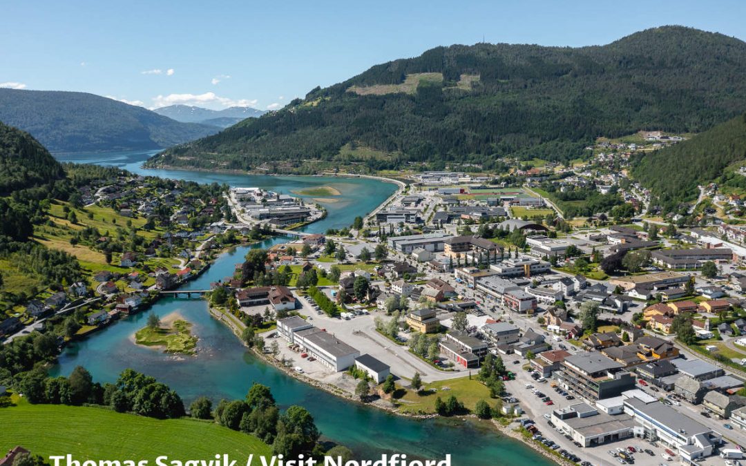
Stryn is the administrative center of the region. It offers many restaurants for dining and grocery shops for resupplying.
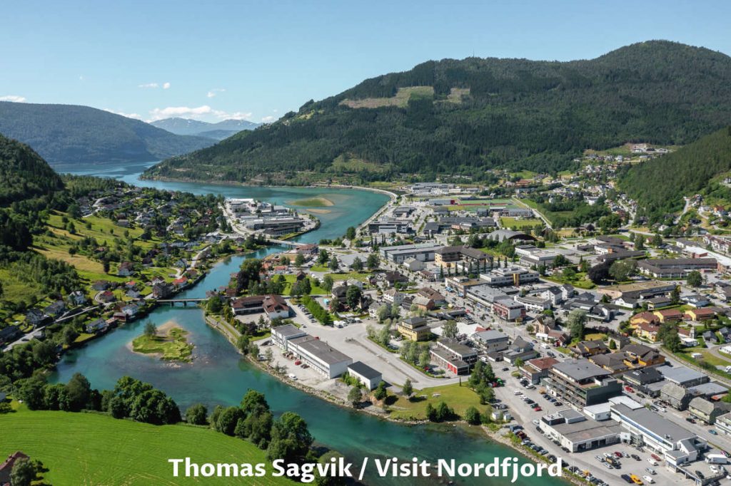
Photo from Thomas Sagvik / Visit Nordfjord shows us Stryn city, river, and a small part of the Nordfjord.
Innvik
Innvik is a small village just half an hour’s drive from Stryn, and some 34 km (21,1 miles) separates the two. It is an accommodation alternative to the more busy Stryn. We stayed in Innvik Fjordhotell. It was a perfect spot on the fjord shore. We recommend it as a budget option compared with higher prices in Stryn and Loen.
If you click this link and make a purchase, we earn a commission at no additional cost to you.
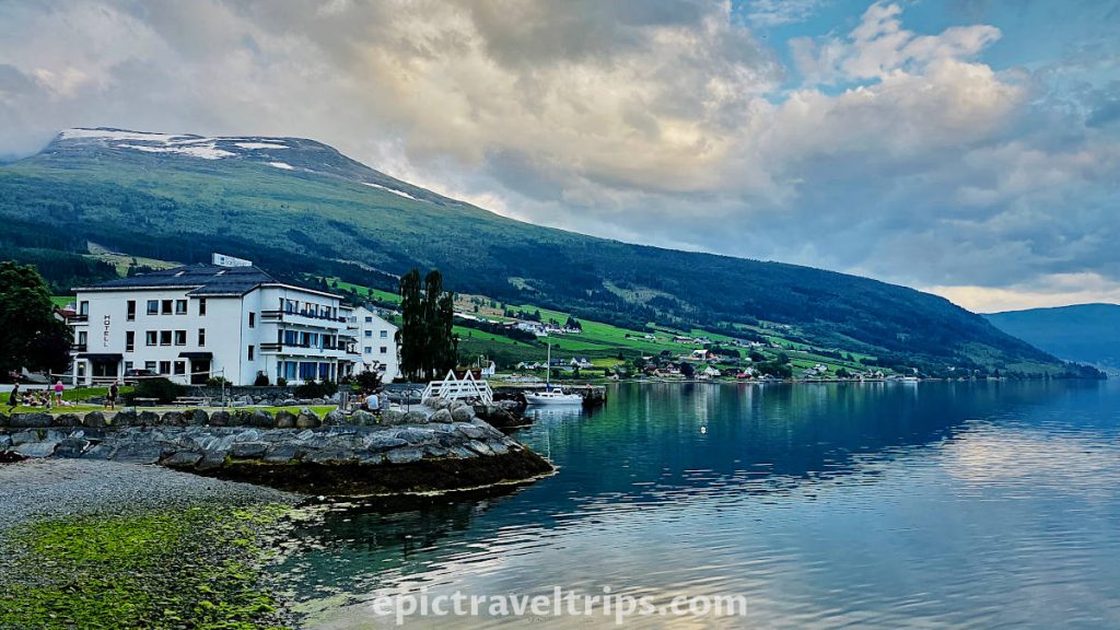
Hjelle
A charming village on the shores of Oppstrynsvatnet Lake is another opportunity for memorable landscape photos. It is convenient to stop by, especially if you drive further to Geiranger or Oslo via Otta.
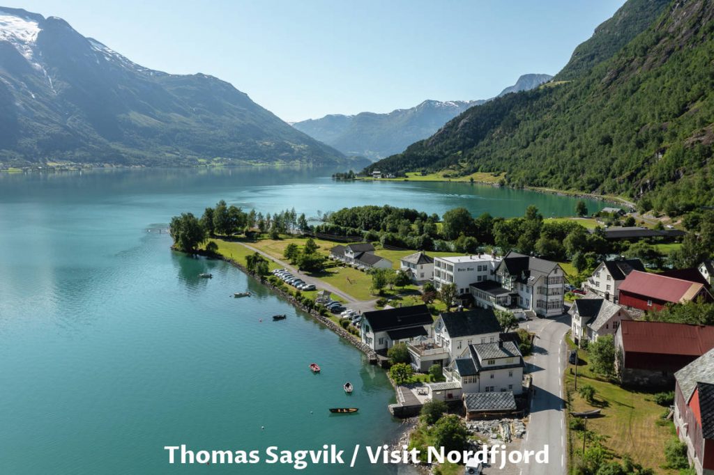
Thomas Sagvik / Visit Nordfjord was lucky enough to get this fantastic drone photo on a sunny and bright day when the lake water was very calm.
Old Stryn Road (Gamle Strynfjellsvegen)
Old Stryn Road (Gamle Strynfjellsvegen) is part of the road engineering history through this rough terrain over the mountains. Now is predominantly a tourist attraction.
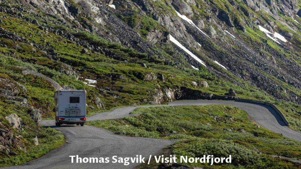
Photo from Thomas Sagvik / Visit Nordfjord shows us a glim of this piece of history.

Geiranger Fjord
Geiranger Fjord is an iconic place when talking about fjords in Norway. Simple, it is a must to experience fjords at their best. Luckily, Geiranger is a short 75 km (46,6 mi.) and one hour and twenty minutes drive from Stryn.

Briksdal Glacier (Briksdalsbreen) Hiking – Our Impressions
We have talked with one Norwegian about the glacier’s past. The gentleman mentioned that on his previous visit to the glacier ten years ago, the glacier was much higher and more massive. The glacier, although less striking, is a nice hike in nature.
We would love to come back in a few years and update ourselves on the glacier size change. The photo below is the image we can use as a reference point. As you can see, the glacier is quite slim.
We wish you an epic trip!

